Rotterdam Map
Rotterdam Map
2014
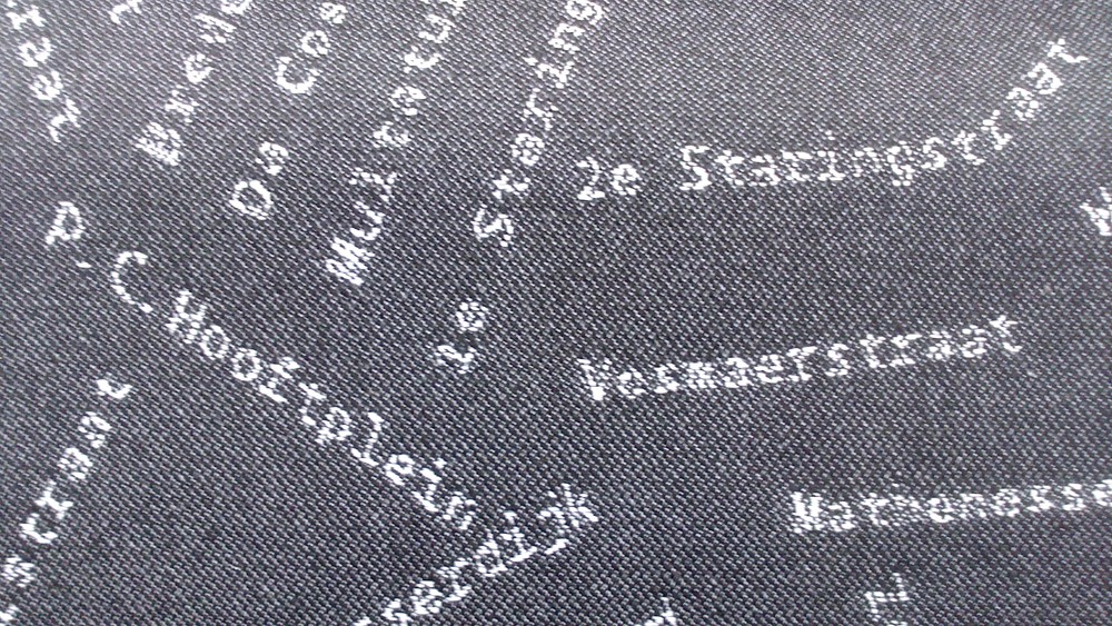
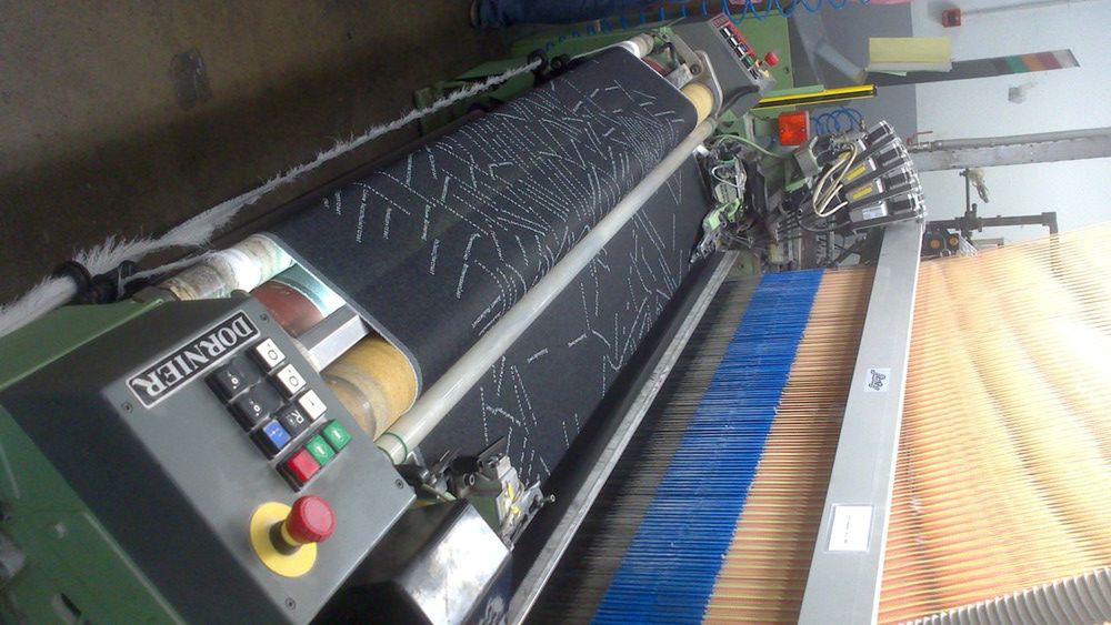
 A map of Rotterdam, drawn solely by its street names, that will refurbish the Rotterdam Municipality office chairs.
Commission from GROUP A Architecture Office for the Rotterdam Municipality
Based on a prototype project Street Names Map dating back to 2011, which interfaced geographical data from OpenStreetMap with information on Rotterdam's street names, Rotterdam Fabric Map consists of a map of Rotterdam drawn solely by the names of its streets and woven into large sections of fabric. The final result will cover the chairs of the new Rotterdam municipality offices, located in ‘De Rotterdam’
2014 Works
